Measurement Skills
Our three settlements are clearly different. Let’s do some measuring.
We saw that place size is shown by the type of symbol used at some scales. We can also see many more roads and buildings on the map of Brighton.
With Digimap, we can measure the area of each settlement. There are two ways to do this: using Measurement Tools, and using the Measure feature in Drawing Tools.
Measurement Tools
- Re-load our map of the three settlements.
- Go back to Load A Map, if you need to see how.
- Use Measurement Tools to find the area of Brighton and Happisburgh and jot them down.
- Will we all find exactly the same answers? Explain!
Drawing Tools
Watch the video to see how to measure by drawing a polygon. See that you can modify the shape after you have made it.
- Measure the area of Tenby using a polygon from Drawing Tools.
- Modify your polygon to include South Beach, up to Giltar Point.
- What do you notice about the area label?
- Can you find the updated area?
Compare your jotted answers to mine.
- Brighton ~ 50km2
- Happisburgh ~ 1km2
- Tenby ~ 2km2
- Tenby and South Beach ~ 4km2
Comparing Settlements
We have compared the size of each settlement by comparing their areas in km2. We can also use Digimap to compare them visually. We can drag and drop the measurement polygons from one place to another.
In a way, we can pick up Brighton and put it down on top of Tenby, or even Norton. This gives us a better idea of how they compare. Have a go!
The World’s Biggest City
Which of these cities do you think is the biggest in the world?
- Delhi, India
- London, UK
- Mexico City
- Tokyo, Japan
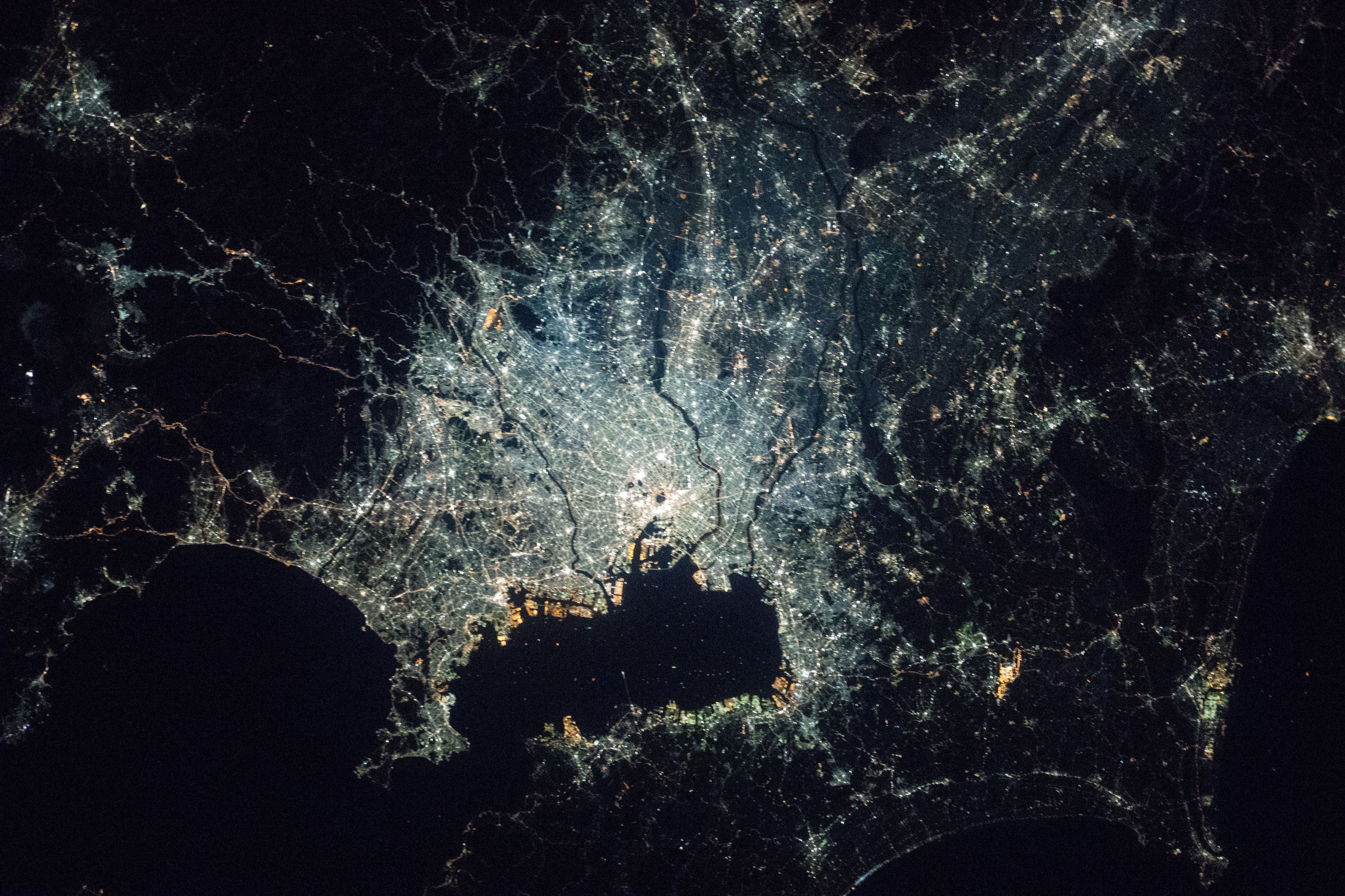
Tokyo is the world’s largest city, with an area of 13,452km2. In 2018, its population was estimated at 37,460,000 people.
You can find Tokyo in Digimap. This photo was taken by NASA from the International Space Station, also in 2018. It shows the centre of Tokyo at night, visible because of all the streetlights. Try to measure its area in Digimap. What you do get? Can you drop Tokyo over Norton?