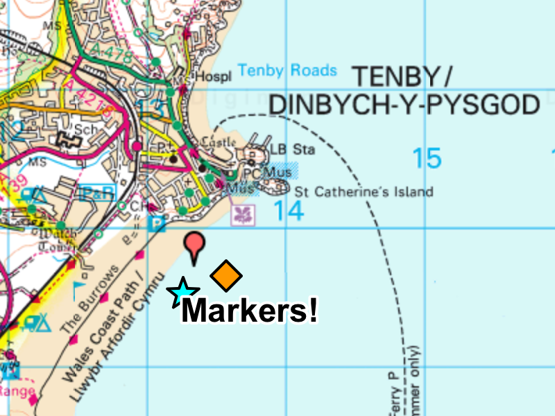
Use Drawing Tools to create and modify markers. We are going to put a marker on the town of Tenby so that we can see it at any scale.
Coastal Mysteries
We will compare and contrast three different coastal settlements in the United Kingdom. We will build our skills using Digimap for Schools .
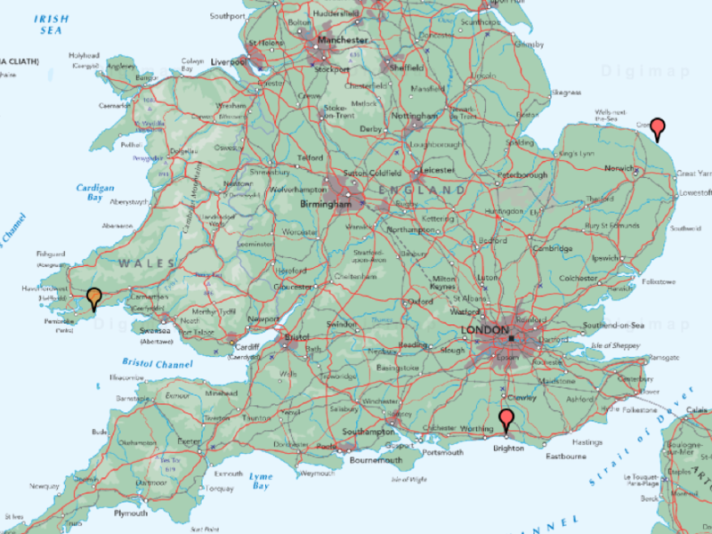
Practise your marker skills by finding and adding markers to two more places.
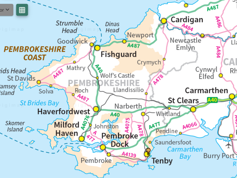
Learn to recognise how different places are shown on the map.
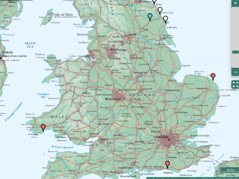
Load a map with markers on the three settlements we are looking at. There’s also one for Norton.
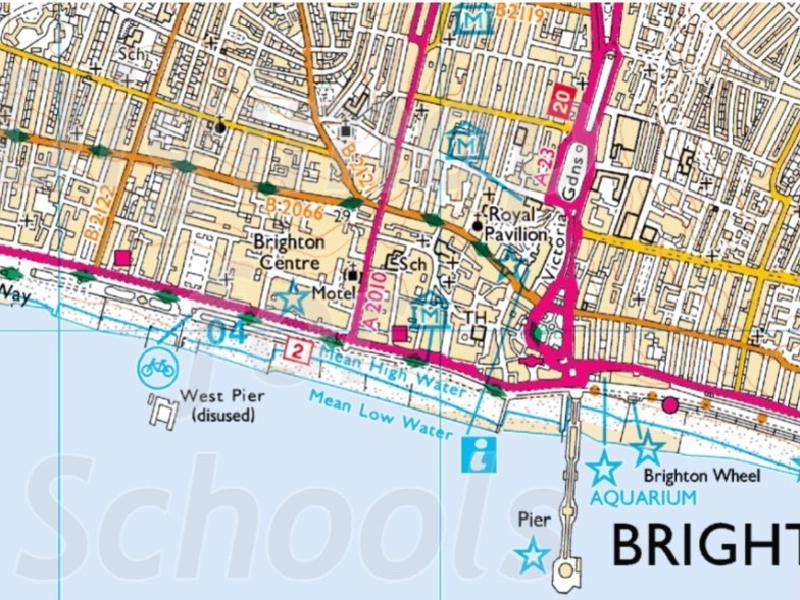
Now we have the map view of each settlement, can we match them to photos taken at each location?
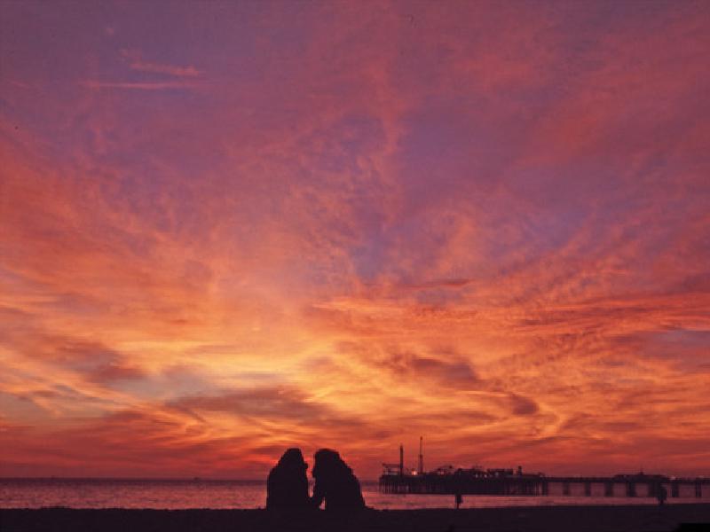
When you take a picture on your phone, the geophysical location of the image is stored along with the picture. This means that the position of photographs can be shown on digital maps.
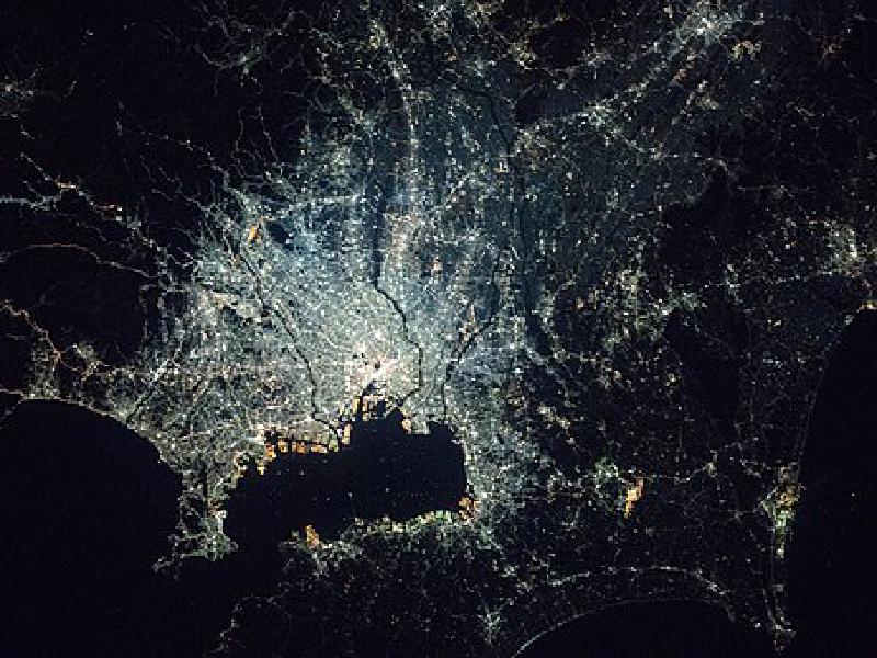
Our three settlements are clearly different. Let’s do some measuring.
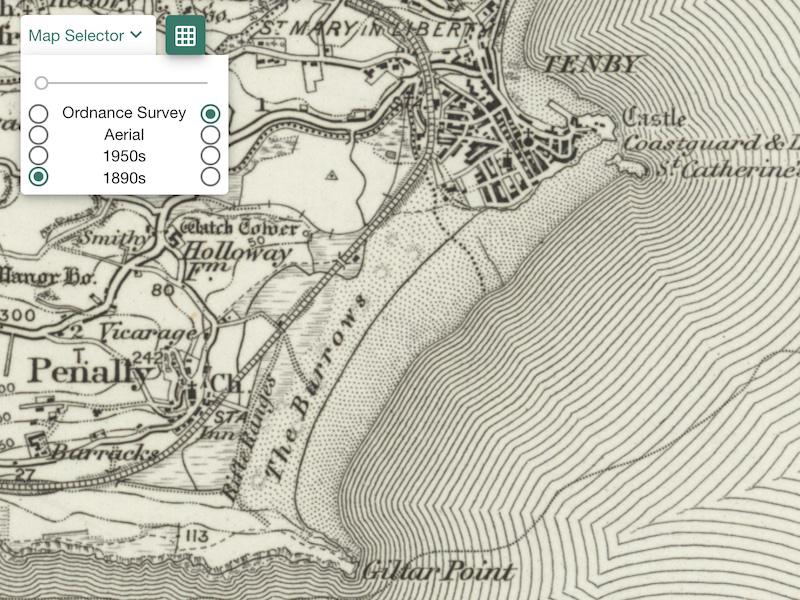
If we could look at maps from the past, what might be different?
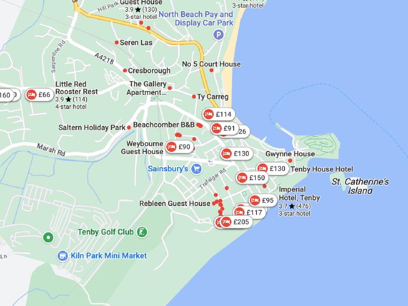
We have seen that Brighton is far bigger than both Tenby and Happisburgh. Why did it grow so much bigger?
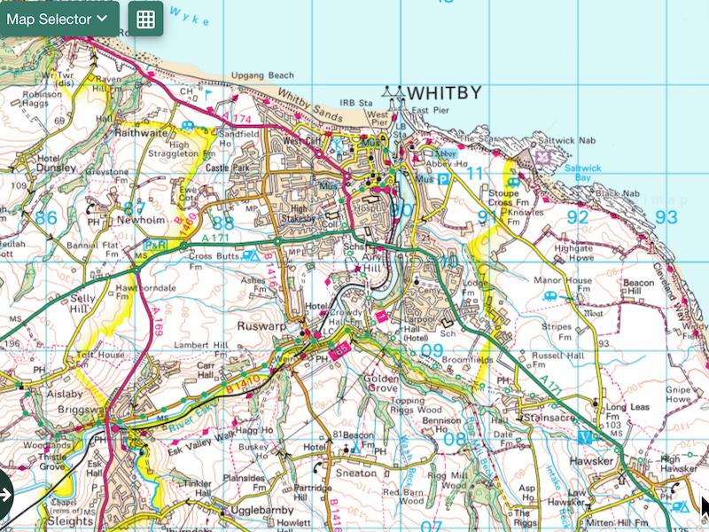
There are towns on our Yorkshire coast that are like those we’ve been studying. Let’s apply our digital mapping skills to investigate them.
